Blurry Seas, Bloody Wars
모호한 경계의 바다, 선혈로 얼룩진 전쟁
The Yellow Sea maritime border was never drawn. The two Koreas have been fighting over it ever since.


To the east, the DMZ ends in the Sea of Japan, called the East Sea by the Koreans, where the maritime boundary is merely a straight extension of the Military Demarcation Line and hardly open to dispute.
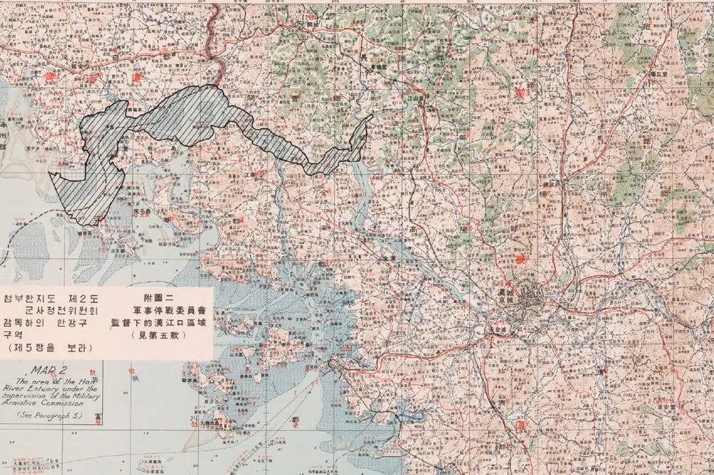
Geopolitics are much more complicated on the west coast, where the DMZ ends near the confluence of the Imjin and Han rivers, about 40 km northwest of Seoul. From this point, the Han River estuary or Jogang, an officially “neutral zone” which stretches 67 kilometers between Paju and the Yellow Sea, marks the border between North and South.
It’s at the mouth of the Jogang that things become really tricky.
Unlike the land border and the Han River estuary, the inter-Korean maritime border in the shallow, island-studded Yellow Sea – called the West Sea by the Koreans – was not demarcated by the 1953 armistice in the absence of agreement between the parties.
To make matters even more complex, the armistice agreement stipulated that five remote islands located south of the 38th parallel just off the North Korean coast – Baengnyeong-do, Daecheong-do, Socheong-do, Yeonpyeong-do and U-do – would remain South Korean, as they had been almost all the time since the partition of 1945. North Korea has never laid claim to these islands, even if they considerably hamper its access to the open sea.
But where is the limit of territorial waters?
This question has never been settled. Add the fact that the waters around the five West Sea islands are a particularly coveted fishing zone, and you’ll understand why this area has been the scene of the bloodiest clashes between the two Koreas since the end of the war, and remains extremely volatile today. The recurring artillery duels, naval battles and other skirmishes are sometimes dubbed the “Crab War”, after the sought-after crustacean that inhabits these waters.
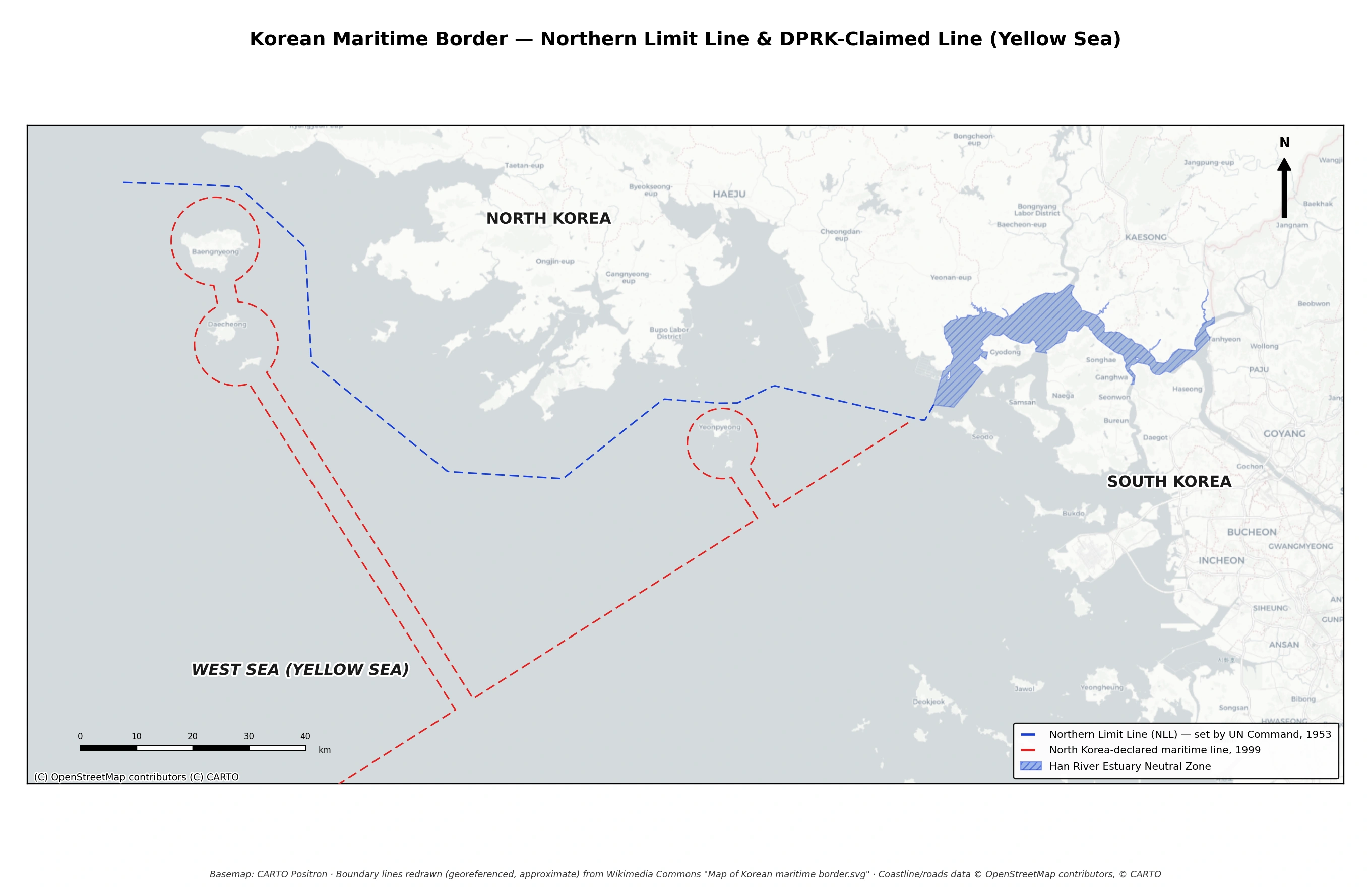
The Northern Limit Line (NLL), unilaterally set by the United Nations Command after the Korean War to prevent the South from attacking the North in violation of the armistice, is now claimed by South Korea as the official maritime border. North Korea sees things differently, and unilaterally decreed a “West Sea Military Demarcation Line”, giving South Korea only a narrow corridor to access the islands under its jurisdiction. Both claims run counter to the Law of the Sea in force worldwide since 1994, but international arbitration is impossible. As a result, the Yellow Sea remains the scene of tensions and of numerous severe armed clashes. The map is approximate.
I will try to make a long story short…
South Korea did not sign the July 1953 armistice agreement, and its president Syngman Rhee intended to continue attacking the North until it was defeated. To curb his warmongering zeal, the United Nations commander at the time, American General Mark Clark, is believed to have drawn in August 1953 a line of his own, linking 12 coordinates in the Yellow Sea, which U.N. and South Korean forces were forbidden to cross. It was called the Northern Limit Line (NLL).
This is where things get complicated. First of all, there is no known document in which General Clark set his NLL. Despite an investigation by the CIA, the origin of the 12 coordinates, about which everyone has been arguing for years and which South Korea now considers to be its de facto maritime border with the North, remains embarrassingly unclear.
What is certain is that this unilaterally drawn “maritime border” has no basis in international law of the sea. Its aim was not to be a border, but to prevent South Korea from continuing the war against the North despite the armistice it didn’t sign.
And yet, for over twenty years, the NLL would be respected by both sides. Even without officially recognizing it, North Korea was very happy with the NLL, which protected it from the warmongering of Syngman Rhee and his successors.
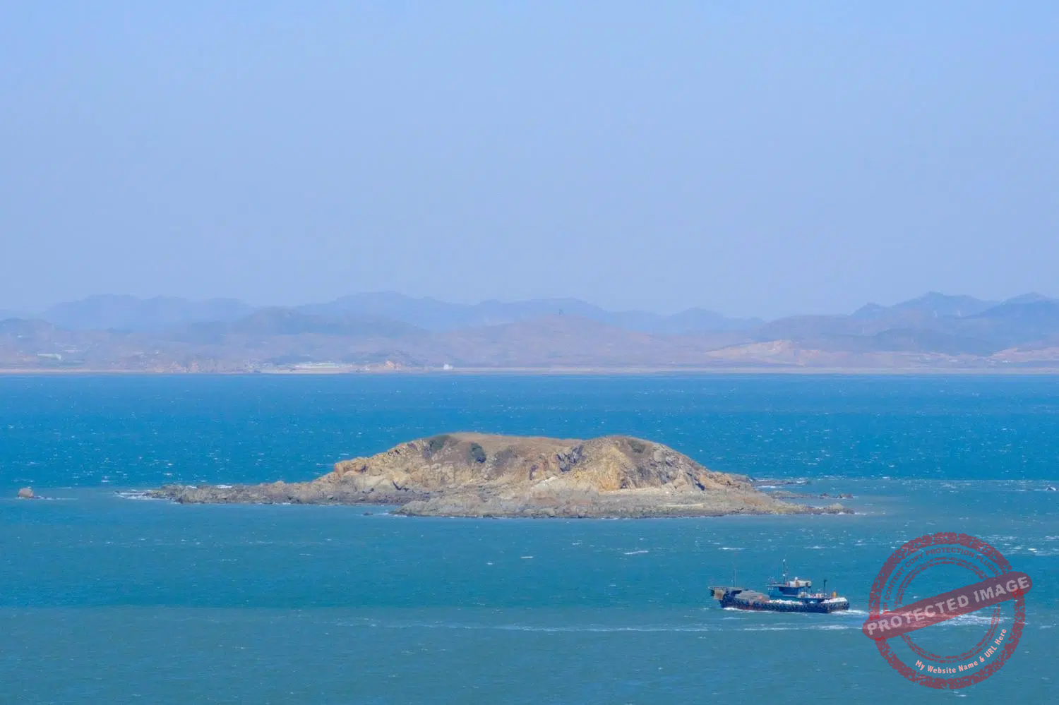
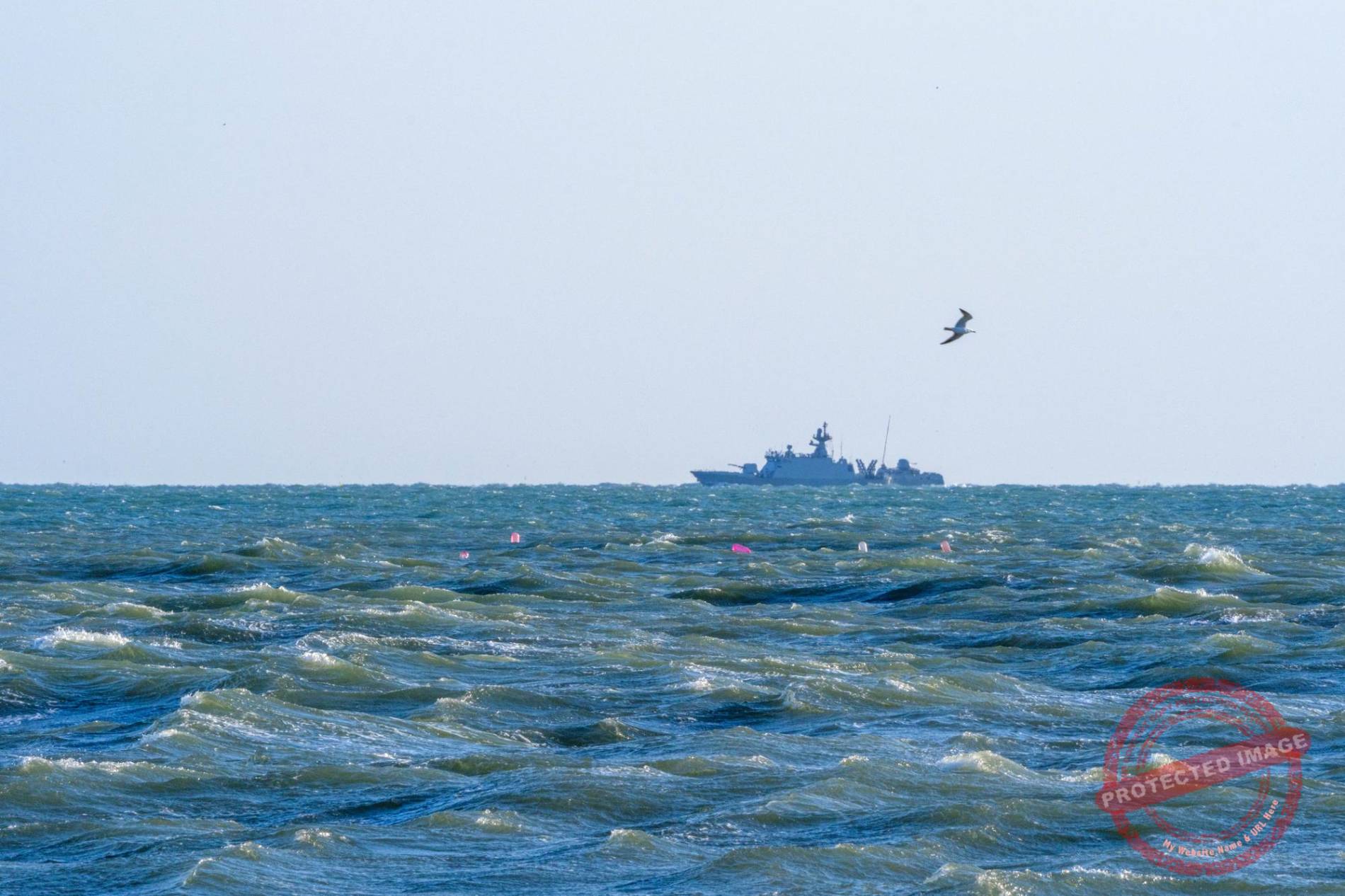
The uninhabited North Korean islet of Seokdo lies just 3 km off the coast of the South Korean island of Yeonpyeong. It’s a hot spot for illegal fishing and smuggling between Chinese and North Korean vessels, in violation of UN sanctions against Pyongyang, just a few meters from the maritime border and under the noses of the South Koreans (March 2025).
It wasn’t until 1973 that North Korea began to actively contest the NLL, and to multiply its incursions south of it. At one point, Pyongyang even claimed that the five islands were located within its territorial waters and that any vessel must obtain its permission to approach them. In 1999, Pyongyang claimed a much more southerly “West Sea Military Demarcation Line” with maritime corridors only two nautical miles wide linking South Korea’s mainland to its West Sea Islands.
South Korea maintains that the North has tacitly accepted the existence of the NLL for twenty years, and that it therefore constitutes the de facto maritime border.
North Korea claims never to have agreed or even been notified of the existence of the NLL. International arbitration under the framework of the United Nations Convention on the Law of the Sea (UNCLOS) would likely result in a maritime boundary located further south than the NLL, but not as far south as the maritime military demarcation line claimed by the north. But Seoul doesn’t want to hear about it: without the NLL, its five West Sea islands would become all but impossible to defend. In any case, North Korea has never ratified the UNCLOS, which makes any arbitration even more unlikelly.
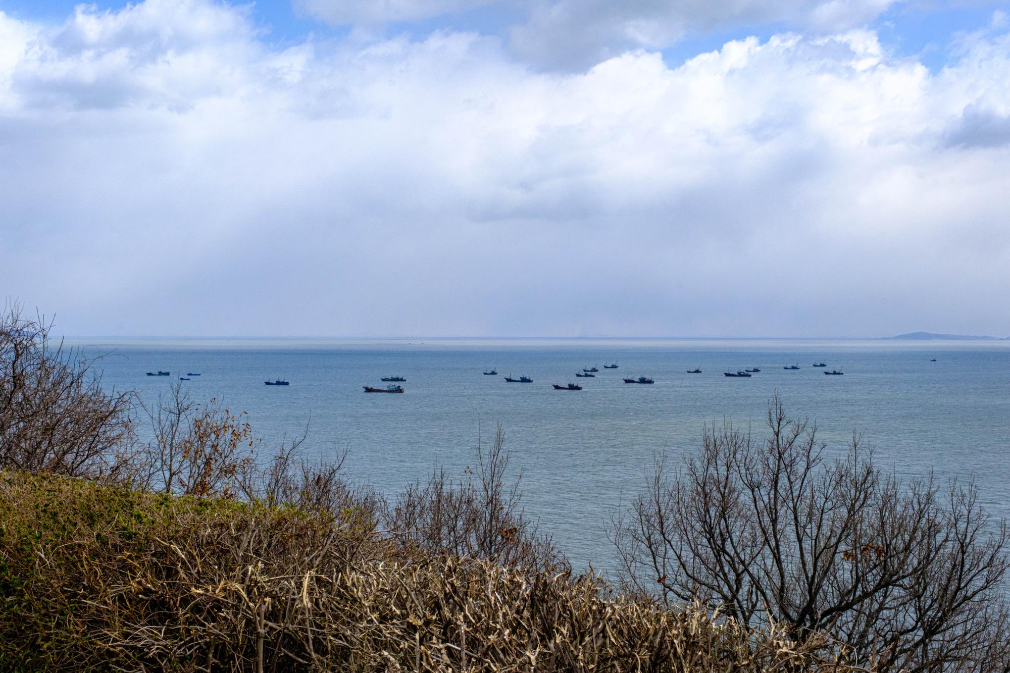
The Chinese illegal fishing fleet, anchored just beyond the North Korean territorial waters, a stone’s throw from the South Korean island of Yeonpyeong (March 2025).
In 2018, the two Koreas agreed to create maritime buffer zones to prevent clashes, but this agreement fell apart in November 2023. Then, in January 2024, North Korean leader Kim Jong Un declared:
“As the southern border of our country has been clearly drawn, the illegal NLL and any other boundary can never be tolerated, and if the Republic of Korea violates even 0.001 millimeters of our territorial land, air and waters, it will be considered a war provocation”.
In the meantime, the ferries that run several times a day from the port of Incheon, near Seoul, to the West Sea Islands refrain from entering the disputed waters.
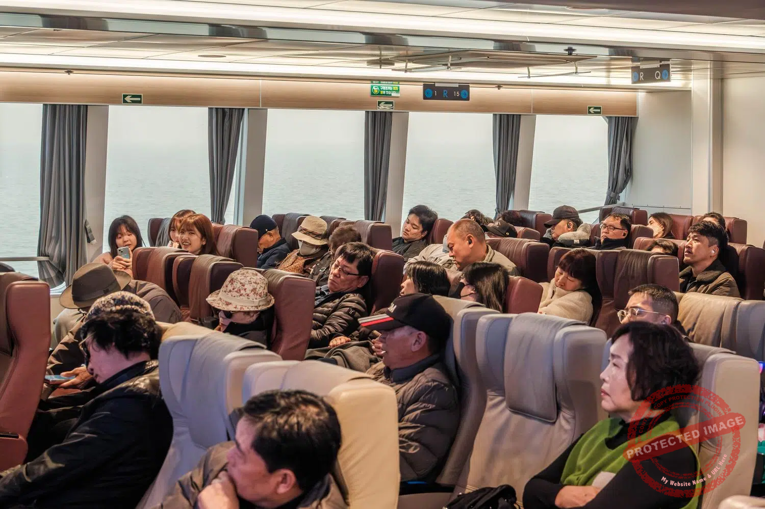
Passengers kill time as best they can during the more than four-hour ferry voyage between the port of Incheon, near Seoul, and the remote island of Baengnyeong in the Yellow Sea. The route carefully avoids maritime areas unilaterally claimed by North Korea, which ensures safety but significantly lengthens the journey time (March 2025).
This page was last updated on: July 23, 2026.