Rock Drops and Dragon's Teeth
용치와 낙석

“Dragon’s Teeth” anti-tank obstacles in Goyang, North of Seoul (September 2025).
Anti-tank obstacles are a common sight in South Korea, especially around Seoul. Known as ‘rock drops’, and sometimes nicknamed ‘North Korean speed bumps’, they consist of massive pre-staged concrete blocks weighing several dozen tons resting on pillars packed with explosives that can be detonated in the event of a North Korean invasion, blocking the way for armored columns and buying the defense forces some time (around 30 minutes, according to studies).
Another variety are “dragon’s teeth,” reinforced concrete obstacles shaped like pyramids, cylinders or spikes that were first used in Europe during World War II. They form a dense network of passive defenses that stretch far beyond the border, extending deep into South Korean territory. On islands in the West Sea, such as Yeonpyeong and Baengnyeong, they are placed on the beaches to sink enemy landing craft.
The South Korean Army operates two types of rock drops: the first is an overpass-type, and the second is a block-type made of cube-shaped concrete.

A block-type rock drop anti-tank obstacle in the Punchbowl basin (May 2025).
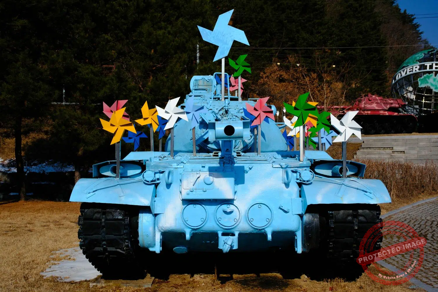
Incidentally, rock drops also often serve as an advertising medium, mainly for the South Korean military. Some have been decorated with fantasy (the prize for this goes to the town of Sanyang, in central Korea, which has transformed the concrete blocks of a rock drop into colourful science-fiction robots). Most retain their purely military character, even though in modern warfare, these obstacles are not considered as effective as before.
The anti-tank barricades, most of which were built in the 1970s or before, sometimes raise concerns about road safety. These concrete behemoths are designed to be blown up quickly in the event of an enemy attack. Some of them – such as those situated on the Jayu-ro highway at the north-western exit of Seoul – see hundreds of thousands of vehicles pass beneath them every day, without anyone really knowing whether their structural integrity and resistance to constant vibrations are regularly checked or not. Others are located at bottleneck spots for tactical purposes and are known to cause traffic jams and accidents.

An overpass-type rock drop anti-tank barricade decorated with a giant painting celebrating the South Korean 7th Infantry Divison (“Chilsung”) on the road between Hwacheon and Sanyang, on the Central Front (May 2026).
Old rock drops are also regularly accused of damaging the urban environment, which raises the question of whether they should be dismantled or replaced with more eco-friendly solutions.
The fear of tanks is a legacy of the trauma caused when hundreds of North Korean Soviet-made T-34s rolled into Seoul at the start of the Korean War in 1950, destroying everything in their path (for their part, the North Koreans, traumatized by the rains of American bombs that reduced most of their cities to rubble, are obsessed with building air-raid shelters and digging tunnels).

Yongchi Park (“Dragon’s Teeth Park”), Goyang (September 2025).
Sometimes, an entire city serves as a shield.
Ilsan New Town, developed north of Seoul in the early 1990s to alleviate the housing shortage in the capital, was conceptualized with military deterrence in mind. A framework agreement, signed between the South Korean military high command and the Korea Land Development Corporation, stipulated that Ilsan must “have the outward appearance of a peaceful town, whilst meeting the requirements of a strategically important military town”.
Consequently, at least 30 of the city’s high-rise apartment blocks were arranged to serve as a massive defense wall. The interior partitions are made of plywood so that they can be quickly demolished to facilitate the movement of marksmen taking up positions. Many north-south streets are deliberately narrower than they ought to be. Parks, sports fields and even children’s playgrounds can be quickly converted into fire positions and military helipads.

The Munchon Jugong housing estate in Ilsan New Town, built in the early 1990s, is one of the 30 apartment blocks that would have to be able to transform into a massive defensive infrastructure in the event of an invasion by North Korea, which lies 15 km away, and turn into a hellish scene of Stalingrad-style urban combat. (May 2026).
In the event of a ground invasion, the city is designed to become a hellish urban battleground, to such an extent that it is nicknamed ‘Ilsangrad’ in military circles, in reference to the Battle of Stalingrad during the Second World War, the ultimate symbol of urban warfare.
The same pattern applies to Uijeongbu, also situated in the historic North Korean invasion corridor some 20 kilometres north of Seoul, and other new towns in the same situation. In 1994, Defense Minister Lee Byung-tae confirmed before the South Korean National Assembly that the satellite towns around the capital were being planned according to “a new concept that uses the newly built cities as barriers in the event of an emergency”, which caused quite a stir, as many mistakenly believed that apartment buildings would be blown up without a second thought to serve as a wall.
Walking through Ilsan New Town nowadays, it is hard to believe that the defensive purpose of these buildings is still relevant. North Korea, which can be glimpsed from the top of a small hill in one of the city’s parks, is just 15 kilometres away as the crow flies, and if you want peace, prepare for war. But the prospect of seeing communist armoured divisions sweep through like in 1950, and the streets of Ilsan transformed into a bloody “Ilsangrad”, is no longer realistic, at a time when the superiority of the South Korean and U.S. conventional forces over those of the North is seen as overwhelming, and when Pyongyang is relying instead on its missile and nuclear weapons programmes to intimidate its neighbor.

The gate in Baengnyeong Island‘s coastal fortifications is closed at night, but an intercom is available for defectors arriving on the beach. The red sign says: “The Republic of Korea welcomes you. This is Baengnyeong Island, South Korea. If you press the button on the call bell below, we will guide you to a safe area.” (March 2025).
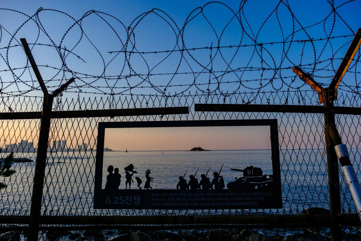
In addition to rock drops, dragon’s teeth and civilian buildings designed to serve as shields, there are thousands of kilometers of barbed wire fences and other fortifications along the border and coastline of Korea, often three or four layers thick, or even more, to prevent any invasion or infiltration. South Korea began to seal its border tightly in the late 1960s when armed incidents and infiltrations (the craziest and bloodiest of which remains that of January 21, 1968) began to spiral out of control.
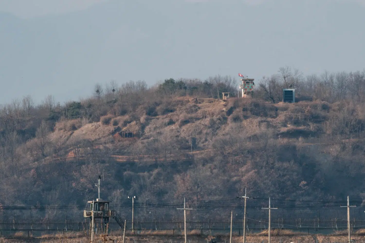
At regular intervals along the northern side of these fortifications, intercoms allow any North Korean defectors who have managed to reach this point to call on the South Korean military for help.

Dragon’s teeth at high tide on the north coast of Baengnyeong Island. These steel spikes are designed to rip open enemy landing craft (March 2025).
The sophistication of the defences south of the DMZ has increased year on year. Originally, simple beer bottles filled with pieces of metal were hung on the fence to act as makeshift alarms in the event of an attempted breach. These have long since been replaced by sensors, surveillance cameras and other advanced technologies.
But the double or triple rows of concertina wire fences remain in place along the entire 248-kilometre length of the DMZ, as well as along the coastline near North Korea and right up to the outskirts of Seoul on the banks of the Han River, preserving the grim nature of this border.
This Korean version of the Iron Curtain is even more impenetrable than its former European counterpart and, unlike the latter, can never be crossed without risking death. Border barriers are now so much a part of the landscape in South Korea that it is difficult to imagine that once upon a time, long ago, they did not exist.

Final fence before North Korea on Gyodong Island (May 2025).
This post was last updated on : May 31, 2026.