DMZ Walks
DMZ 길을 걷다
A 510-km-long “DMZ Peace Trail” runs along the border from East to West


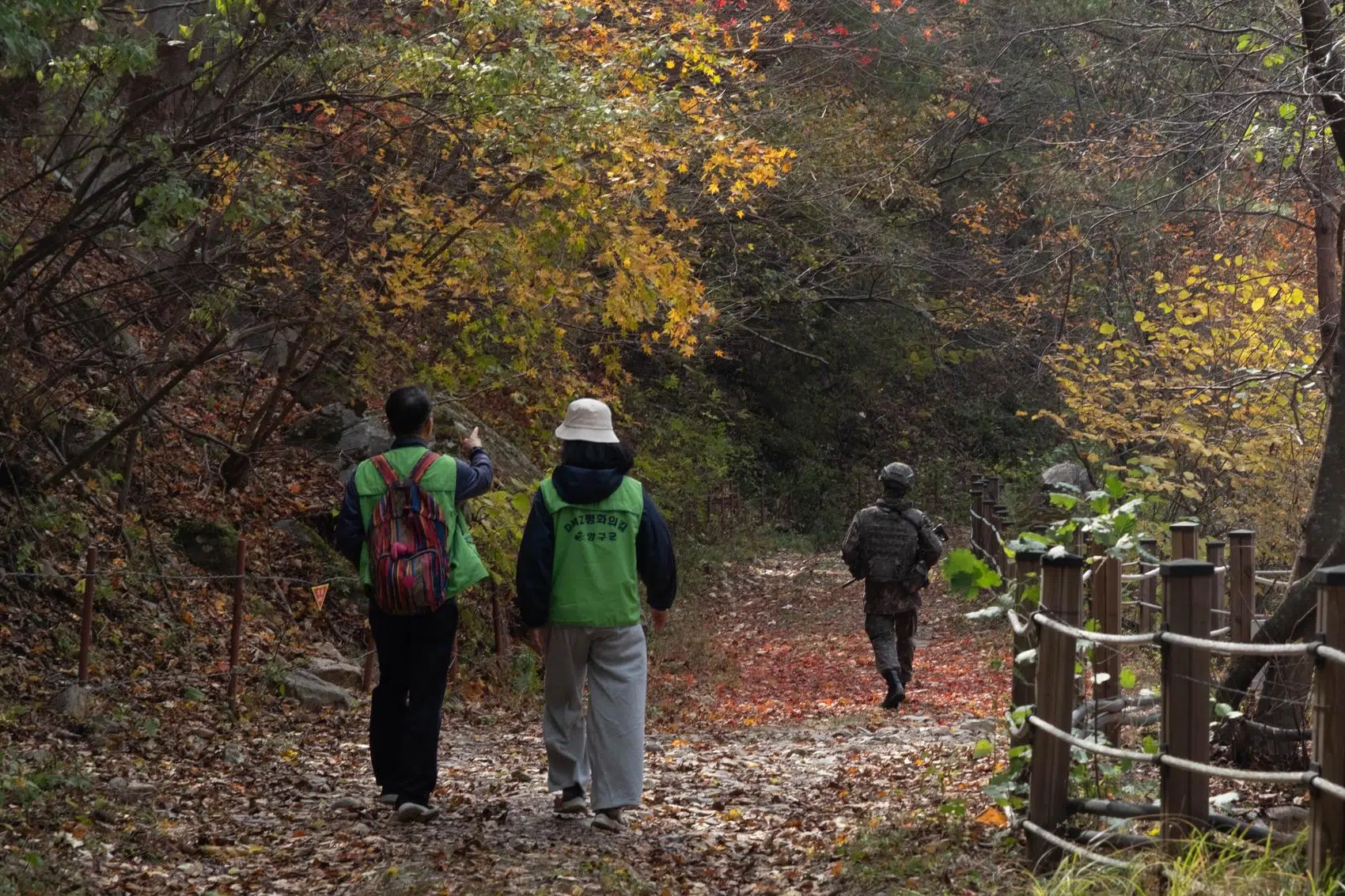
Hikers walk under military escort along the Bloody Ridge section of the DMZ Peace Trail in Yanggu (October 2026).
The inter-Korean border doesn’t only attract busloads of tourists. It has also become a favored setting for the quintessential Korean pastime: hiking.
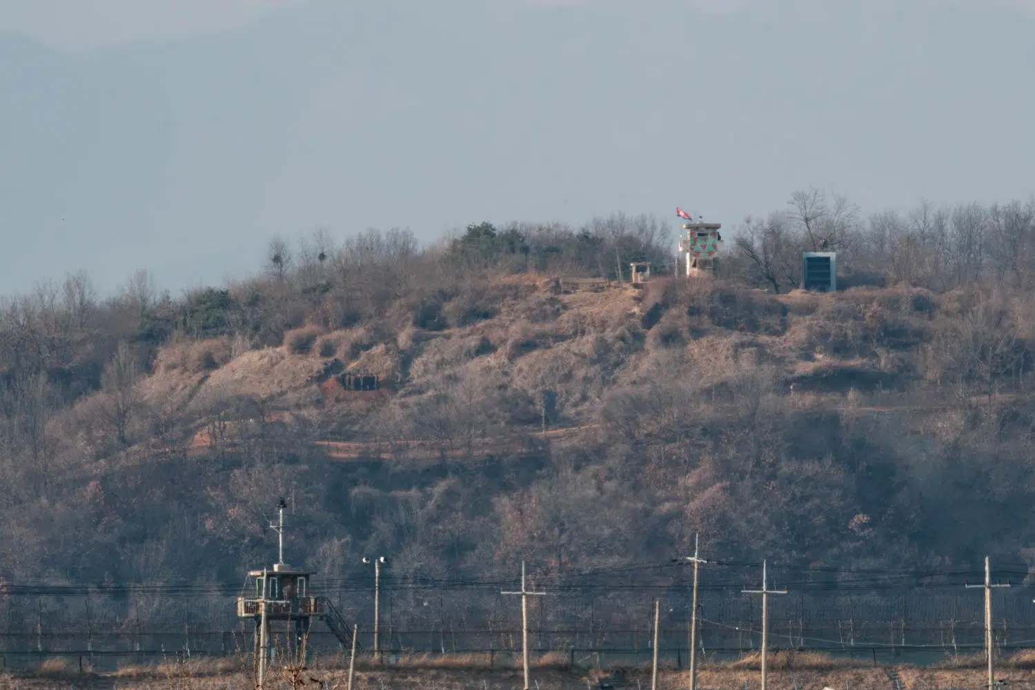
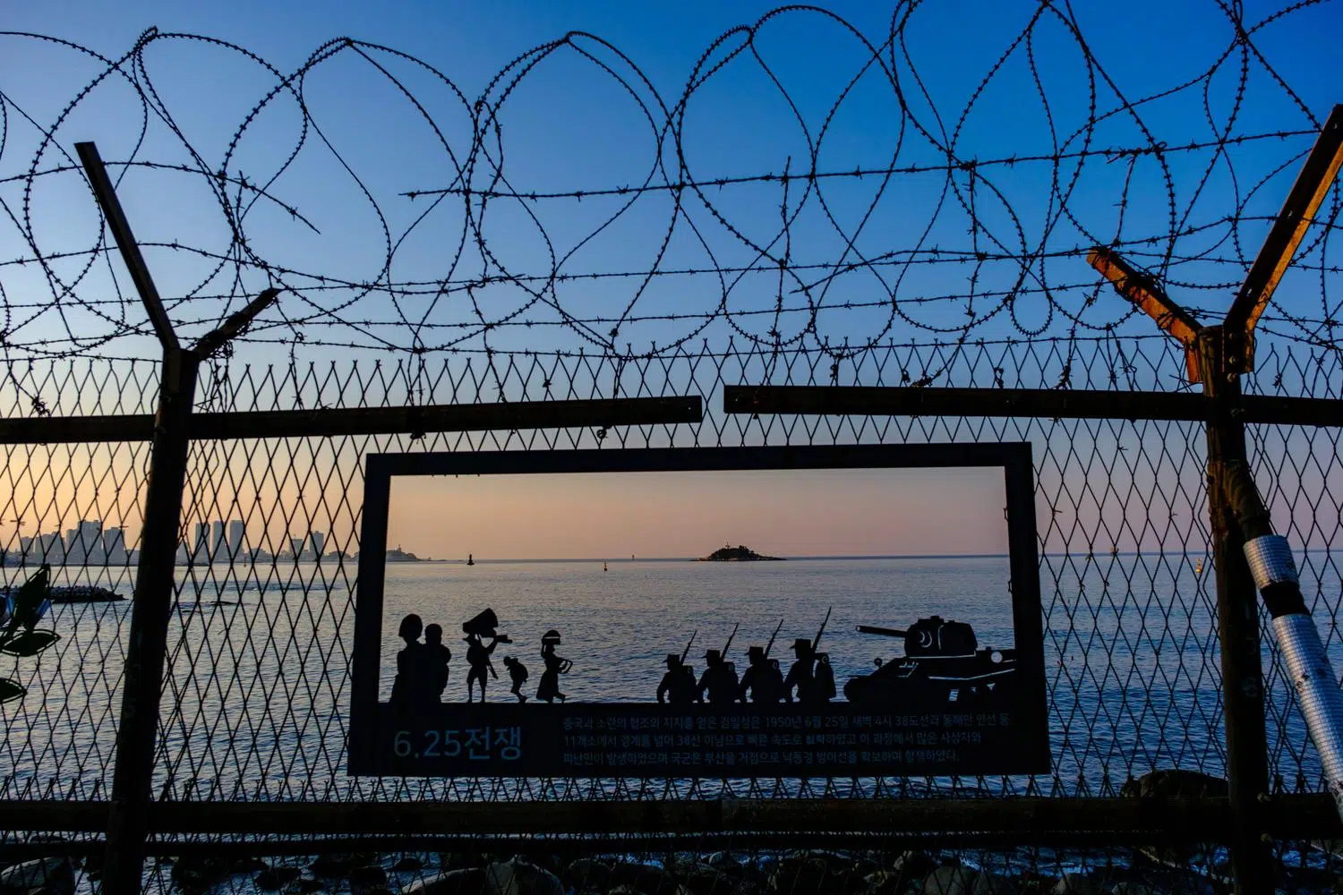
The trails along the Demilitarized Zone (DMZ) are of a very particular kind. They cross splendid landscapes, but they also skirt minefields and kilometer after kilometer of grim barbed-wire fences, and pass signs warning that anyone straying from the marked path may be “considered an enemy and shot.” Access is sometimes controlled by the military, who provide an armed escort along the most sensitive sections, which makes for a particularly strange walking experience.
The “DMZ Peace Trail” is one of the four sections of the Korea Dulle Gil which, at some 4,500 kilometers, loops all the way around South Korea (a “dulle-gil” is a walking trail that loops around something).
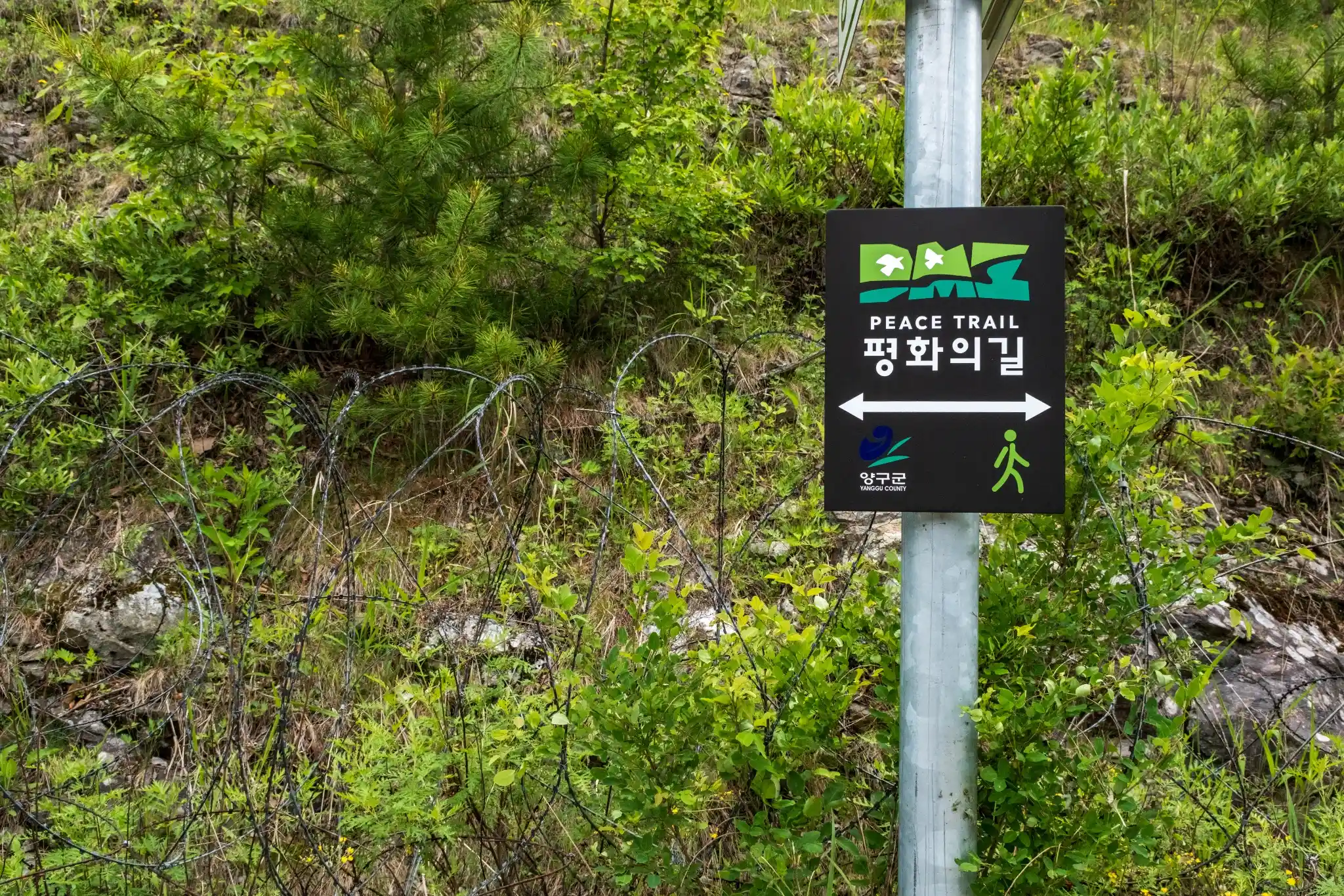
A section of the DMZ Peace Trail in Yanggu (June 2026).
Opened in 2019, the Peace Trail runs 510 kilometers along the border with North Korea, between Goseong on the east coast and the Ganghwa Peace Observatory on the west coast. It was fully completed and signposted in 2024. In Gyeonggi Province, north of Seoul, the route largely overlaps with the Pyeonghwa Nuri-gil, a border trail opened in 2010 between Gimpo and Yeoncheon.
Except for three sections in Paju, Cheorwon and Goseong, which have been closed for years for security reasons, the DMZ Peace Trail does not enter the DMZ proper. It consists of a main route of 35 segments of varying difficulty, freely accessible in areas not subject to military restrictions, and of twelve themed courses, most of them inside the Civilian Control Zone (CCZ). These courses are generally fairly short and not physically demanding, are led by qualified guides and require a reservation. Some sections can only be accessed under military escort. These are subject to hiker quotas, usually twenty or forty per day, and are closed to foreigners. Hikers must wear a reflective vest and a GPS collar.
An official website and the Durunubi app let would-be DMZ hikers look up routes and access procedures.
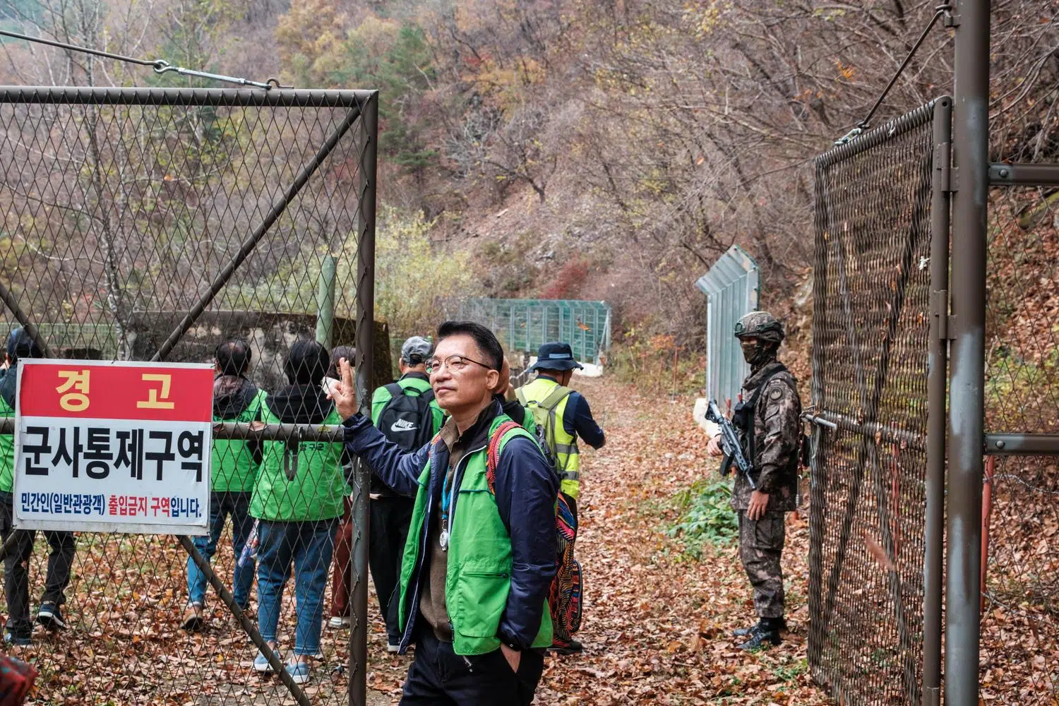
Hikers enter a restricted section of the DMZ Peace Trail in Yanggu (October 2026).
The trail has its origins in a rare period of inter-Korean détente.
In a declaration adopted at their historic Panmunjeom summit on April 27, 2018, South Korean President Moon Jae-in and North Korean leader Kim Jong Un agreed to turn the DMZ into a genuine peace zone. A year later, the South Korean government and the United Nations Command (UNC) agreed to open the first sections of what was then provisionally called the “DMZ Peace Dulle-gil”. The UNC is the US-led multinational force that has jurisdiction over the DMZ.
On April 26, 2019, the eve of the summit’s first anniversary, President Moon walked the Goseong coastal trail himself, accompanied by the well-known actor Ryu Jun-yeol. That section opened to the public the next day.
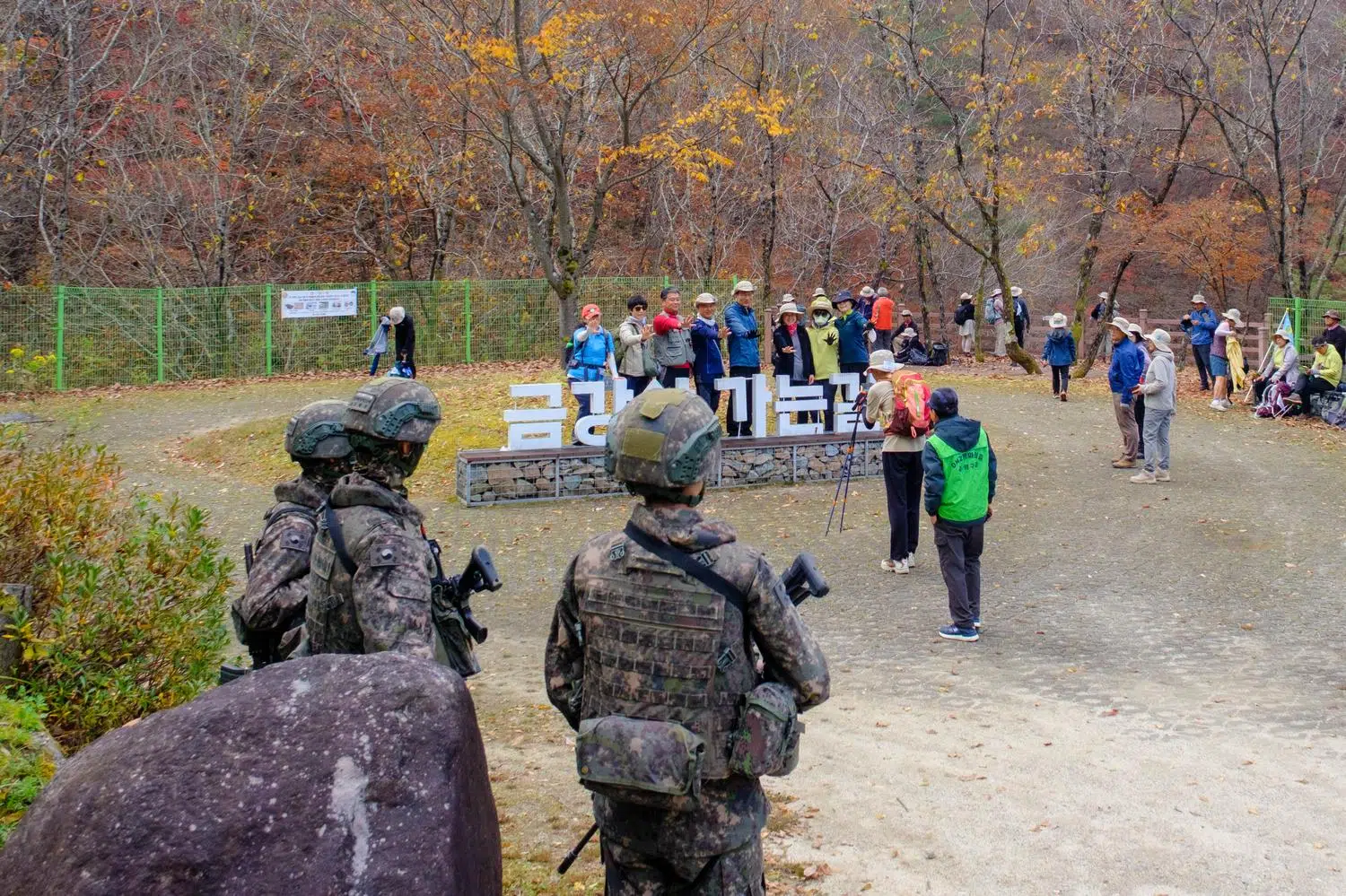
Armed soldiers monitor a group of hikers on the DMZ Peace Trail in Yanggu (October 2026).
Cheorwon, in central Korea, followed on June 1. Its route ran from the Baengmagoji battle memorial to a guard post on Arrowhead Ridge, near a site where the two Koreas planned to conduct joint excavations to recover human remains from the war.
The Paju section, near Seoul, opened on August 10. The 21-kilometer route started at Imjingak and followed the CCZ fence along the Imjin River on foot for 1.4 kilometers. It then continued by bus past the Dora Observatory and entered the DMZ to reach the site of a guard post demolished under an inter-Korean military agreement. It was the only GP ever to have been open to the public.
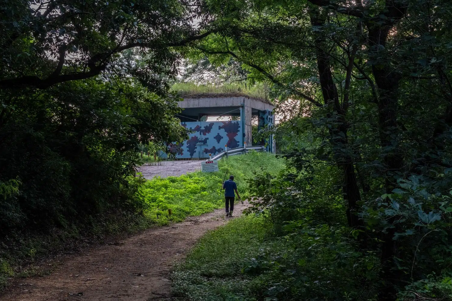
A section of the DMZ Peace Trail passes by an artillery bunker in Paju (June 2026).
The experience was short-lived. In September 2019, the Paju and Cheorwon sections closed because of a swine fever outbreak in the region, with some media outlets suggesting the disease had come from North Korea. Then came the Covid-19 pandemic. In 2024, amid renewed inter-Korean tensions, the UNC permanently stopped allowing civilian access to the portions of the trail inside the DMZ. Few hiking trails in the world can have served so clearly as a barometer of geopolitics.
Since then, the DMZ Peace Trail has been a DMZ trail in name only. Its route still offers a chance to take in the wild landscapes of the center of the peninsula. This was the scene of the bloodiest battles of the Korean War, and for decades its status as a restricted military zone shielded it from human expansion.
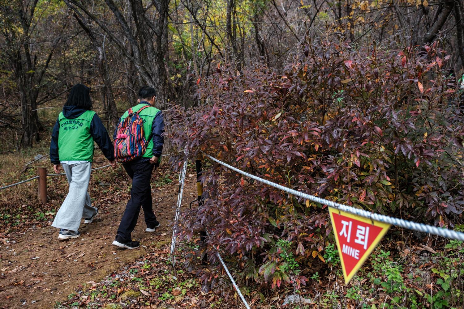
Hikers walk on the DMZ Peace Trail in the Dutayeon Valley in Yanggu, on the Central Front (October 2026).
The South Korean government has been gradually lifting these restrictions to help develop the border areas economically. In recent years, this has allowed new sections to open to the public.
In 2024 and 2025, French geographer and Korea specialist Valérie Gelézeau walked the entire 510 kilometers of the trail from west to east. She drew on the experience for a book, DMZ. Marche et démarche à la frontière coréenne (“DMZ: Walking and Inquiry on the Korean Border”, not translated into English). It combines fieldwork, travel narrative and geographical reflection to show what the DMZ does to the territories and the people who live alongside it.
In her book, Gelézeau describes “moments of disorientation and wandering, despite a very well-marked trail” and “many photographs deleted by soldiers”, misadventures the author of this site knows all too well. She also evokes “this constant impression of juxtaposition between unrelated, even utterly contradictory realities, starting with a ‘Peace Trail’ that crosses minefields and anti-tank walls and keeps running alongside military bases”.
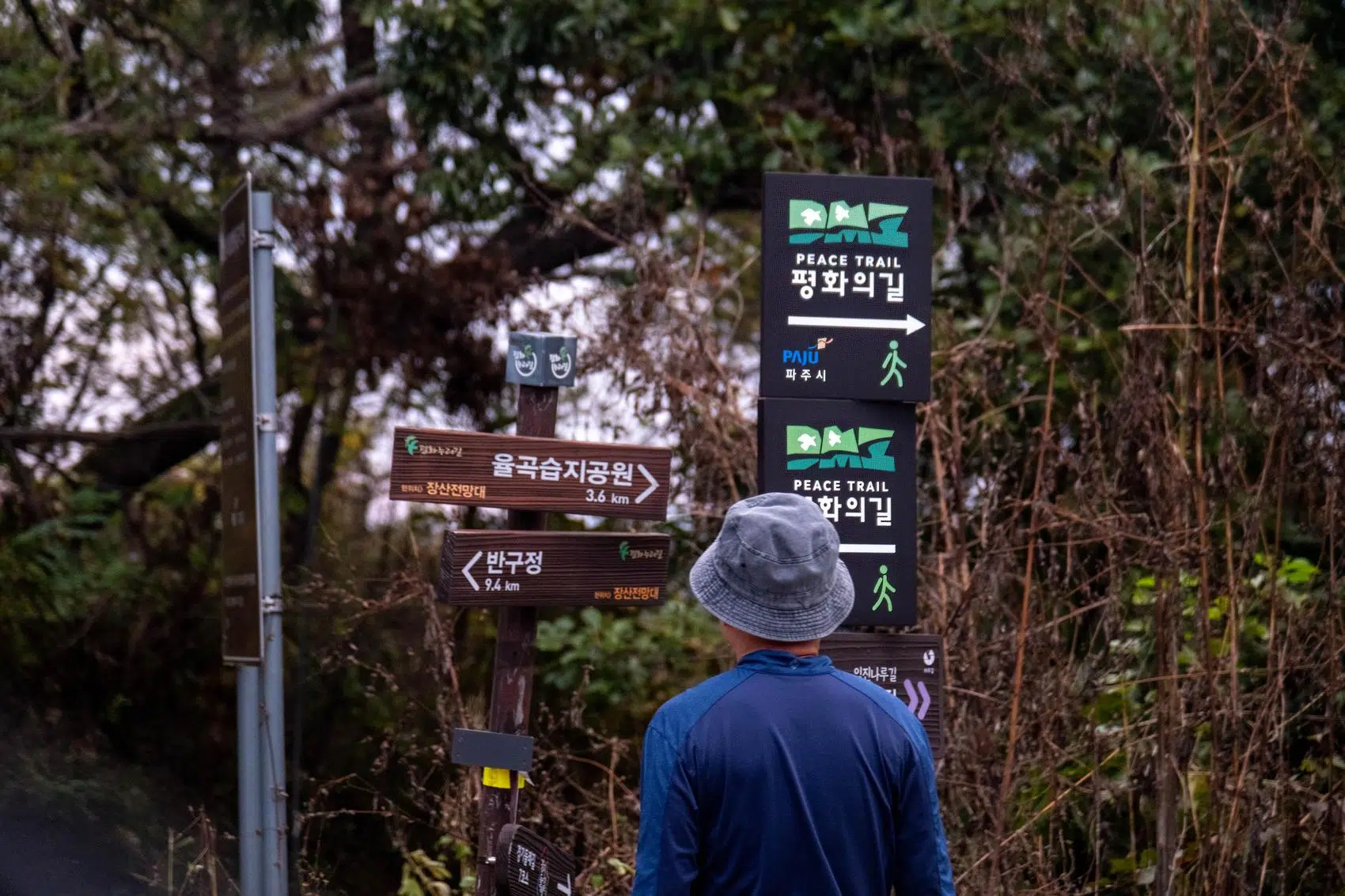
A hiker on the DMZ Peace Trail in Paju (October 2026).
The trail’s route hardly changes, but the official narrative shifts depending on who holds power in Seoul, as is often the case with border tourism.
Under right-wing administrations, the themed courses are usually presented as a way to make citizens aware of the value of security, peace and freedom. The hope is that participants would remember that this freedom and peace are the fruit of the sacrifice of countless heroes during and after the Korean War. When liberal governments take over, the same routes become a way to discover ecological, cultural and historical resources, with the stated ambition of making the DMZ a global symbol of “peace tourism”.
The trail also serves a more prosaic purpose: supporting the economy of border regions. These regions are held back by the many military restrictions on their development and have been emptied by rural flight. The 10,000-won participation fee charged per person for the guided sections is often refunded to hikers as vouchers for local shops.
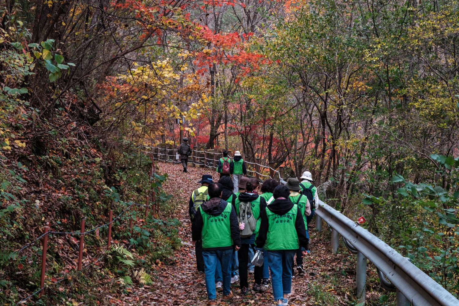
A hiker takes a picture of a minefield sign on the DMZ Peace Trail (October 2026).
This post was last updated on: November 1, 2026.